Drone photography · Construction mapping · Inspections
See it from above.
Real estate photo and video, construction progress mapping, and roof and property inspections. Planned, flown and delivered by an FAA-certified pilot, anywhere in Ohio and beyond.
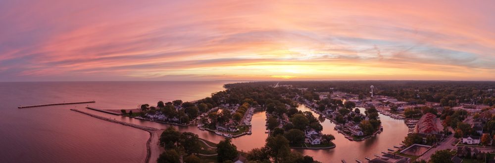
[HERO IMAGE] Twilight aerial of a newly built home
Real twilight, shot at dusk
01
Send the details
Share the address, the scope and your timeline. We check airspace, weather and site access, then confirm a flight window.
02
We plan and fly
Every flight follows a set plan, so each angle is deliberate and every return visit matches the last.
03
You receive the files
Edited photos, video, maps and reports arrive on your own project page, usually within 24 hours.
Services
Three services. One standard.
Real estate photo & video
Interior, exterior and aerial photos and video in one visit, with real twilight as a specialty. Every order includes unbranded MLS versions and a vertical cut for social.
Scheduled flights that capture your site from the same angles on every visit, so owners, lenders and project teams can follow progress without driving out.